

'Catch the King' Tide
Document Type
Learning Resource
Publication Date
2021
Abstract
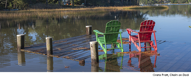
Be a citizen scientist. Participate in citizen science projects that support coastal resilience.
Document water levels during high tide by participating in Catch The King.
- Catch the King is the world's largest environmental survey. It leverages citizen science to aid in GPS flood data collection throughout coastal Virginia. Catch the King aims to map the king tide's maximum inundation extents with the goal of validating and improving predictive models for future forecasting of increasingly pervasive "nuisance" flooding. The project's current focus is centered on mapping inundation extents in coastal Virginia, within the automated mapping scope of VIMS' Tidewatch storm tide forecast map, but we welcome volunteers from outside of our present focus region who are willing and eager to contribute to this endeavor.
Repository Citation
Virginia Institute of Marine Science, College of William & Mary, "'Catch the King' Tide" (2021). What You Can Do. 14.
https://digitalcommons.odu.edu/watersrising-whatyoucando/14
COinS